Smoke from forest fires in Canada cast a pall over St. Louis this month as well as other parts of the Midwest and the East Coast, darkening local skies and creating unhealthy outdoor air conditions. Many of the blazes were sparked by lightning strikes in remote forest areas. Human-caused climate change has exacerbated the hot and dry conditions that allowed these wildfires to ignite and grow.
Radar imaging technology, including certain systems used by Washington University in St. Louis scientist Roger Michaelides, can provide valuable insight into the location and extent of wildfires in remote Arctic and Subarctic forests, like those currently burning in Canada.
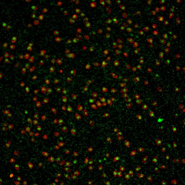
Capable of penetrating clouds and smoke, and imaging day and night, Interferometric Synthetic Aperture Radar (InSAR) can play a critical role in wildfire monitoring. InSAR also can help responders deal with what happens in the immediate aftermath of a burn.
Michaelides, an assistant professor of earth and planetary sciences in Arts & Sciences, is co-investigator of a new National Oceanic and Atmospheric Administration (NOAA)-funded project that aims to improve the warning systems for flash floods that often threaten areas recently denuded by fire.
“The opportunity here is to cut the amount of time it takes to produce a useful map of the burned area,” Michaelides said.
Emergency managers used to have only two options for delineating which areas have burned and how severely they burned. They could rely on ground-based observations — which can be prohibitively difficult to gather for fires that burn in remote areas — or optical satellite imagery— which can be obscured by clouds or even by smoke from the fires themselves. Because of limitations in how certain satellite imagery is collected, some of this data is only collected three times a month or less frequently — not quickly enough to alert people on the ground when rain clouds are building over areas that recently were impacted by fire.
Not any more. “We can take advantage of the availability of multiple satellite sensors that produce more frequent observations or use different imaging mechanisms,” Michaelides said.
The new NOAA grant is initially focused on building out a prototype of a daily, composite, satellite-derived burn intensity estimate map for parts of the western United States where post-fire burn scars cause flash-flooding risks.
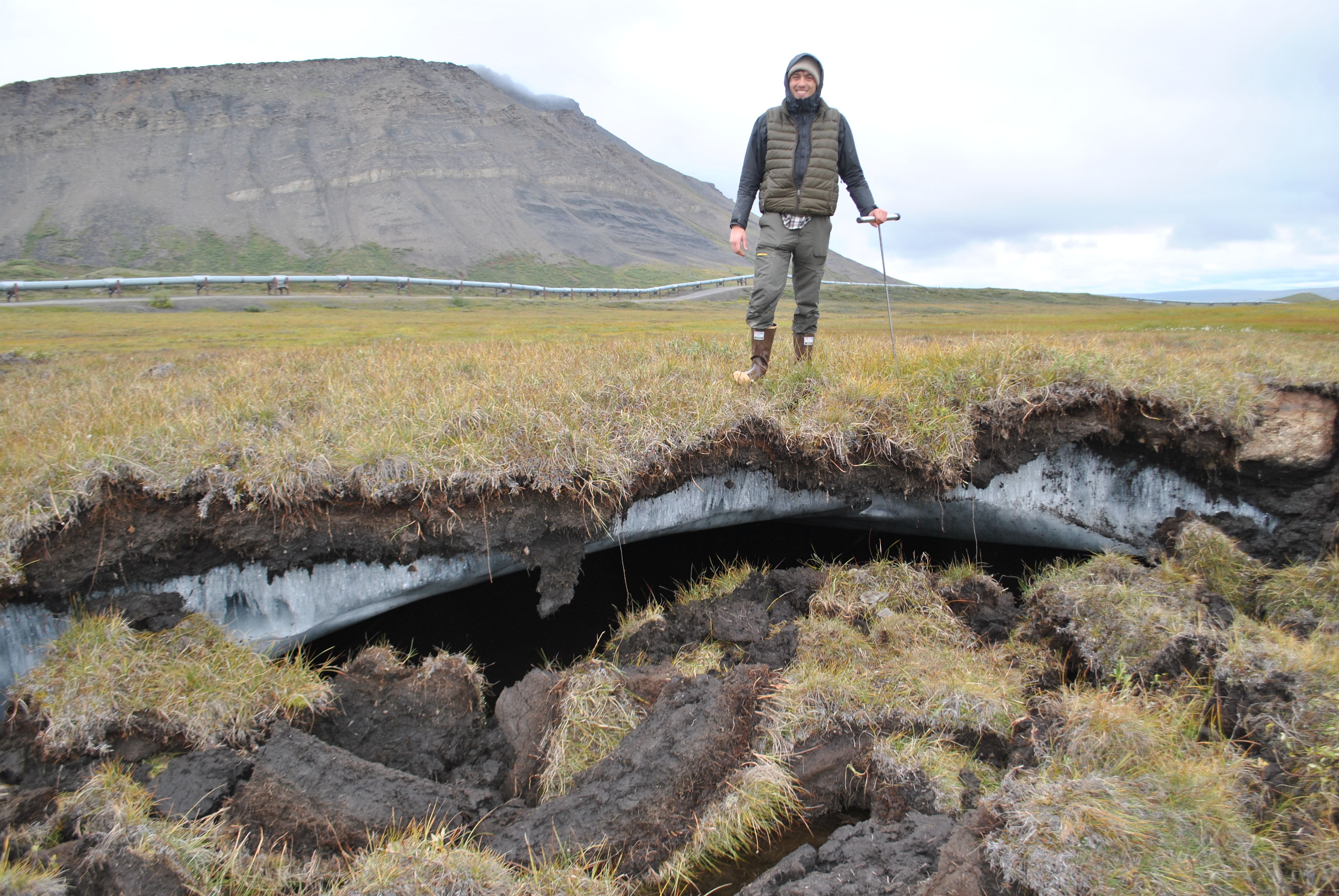
In other parts of his research work, Michaelides uses radar tech to study tundra wildfire interactions within the context of a warming Arctic. He recently received a grant from the Taylor Geospatial Institute to support radar-based research in southwest Alaska.
“The tundra is a unique place,” said Michaelides, who has conducted a number of field campaigns in the Alaskan and Canadian Arctic and Subarctic over the course of his graduate and postdoctoral research studies. “The ground is usually covered by moss and lichens. In wetlands, the ground is often so saturated that when you walk around it feels like you are walking on a waterbed. Exposed massive ground ice can lead to really interesting landforms and wetlands.
“Subarctic boreal environments — such as those where most of the 2023 Canadian wildfires are located — look more similar to lower-latitude coniferous forests,” he said. “In some areas of Canada, forests are underlain by permafrost, which can degrade after exposure to a wildfire. However, most of the fires in this fire season so far have occurred in areas devoid of permafrost, or at most containing isolated or sporadic permafrost extent.”
There is potential for these wildfires to spread farther north as the fire season progresses.
“That is just one reason why it is so critical to have robust wildfire monitoring systems in place, particularly over remote areas like the Arctic and Subarctic,” Michaelides said.
Originally published on The Source.