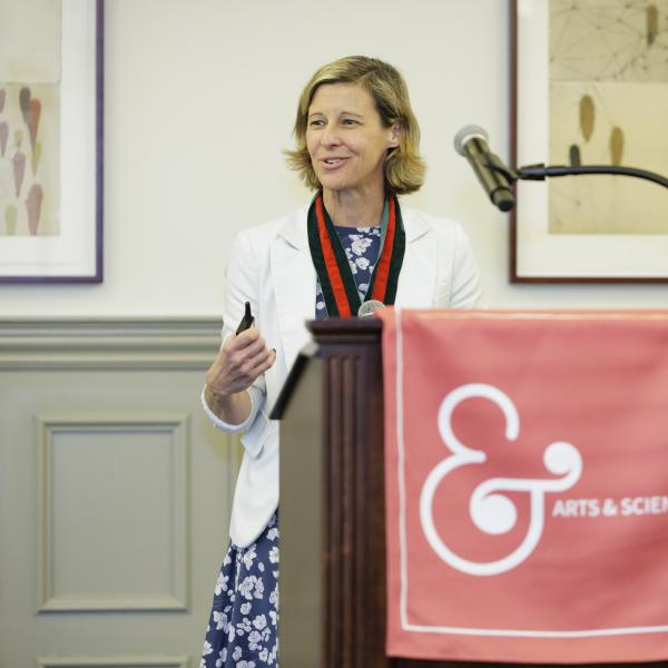
Claire Masteller, assistant professor of Earth and planetary sciences, won a $313,872 grant from the National Science Foundation for collaborative research that will help scientists distinguish between climate-driven change and the natural variability of river channels. Masteller’s work will aid researchers in determining which river systems are vulnerable to erosion due to changing climate and landscape disturbances as well as provide a foundation for treating rivers dynamically in the next generation of river flood hazard forecasting models.
The overarching goal of Masteller’s research is to link river channel adjustment across scales, from individual grains of sediment in the riverbed to the shape of the river channel itself. For example, Masteller explained, if a riverbed becomes more resistant to erosion over time, large rainstorms might result in more flooding. On the other hand, if a riverbed gets more erodible, that could lead to more severe erosion, but less flooding because the river will widen to accommodate bigger flood flows. Major changes in either direction – more flooding or larger rivers – could have devastating consequences for nearby populations.
Masteller will be conducting grain-scale experiments in her lab to understand riverbed erodibility, then combining her results with those of collaborator Colin Phillips, assistant professor at Utah State University, who is focusing on larger scale questions about the changing shape of river channels. By putting these puzzle pieces together with historical flood data and geospatial data of real river channels, Masteller and Phillips aim to build a theory to better quantify the sensitivity of rivers to future climate change.
“We want to be able to identify how rivers will respond to future changes in climate – including things like changing storm intensity or seasonality – and to what degree we can measure those changes in topography or satellite data,” Masteller said. “This can also help us identify areas at the greatest risk for future hazards, whether they be flooding or accelerated erosion, which can affect infrastructure, water quality, and aquatic habitats, as well as guide mitigation or restoration efforts.”
As part of the project, Masteller will offer summer research internships for local students interested in analyzing geospatial and environmental datasets. Her interns will build skills applicable in academic research and marketable in the geospatial and environmental sectors. Students will also have opportunities to gain hands-on field experience in rivers located in California, Utah, and Colorado, as well as by assisting with experiments in Masteller’s lab.